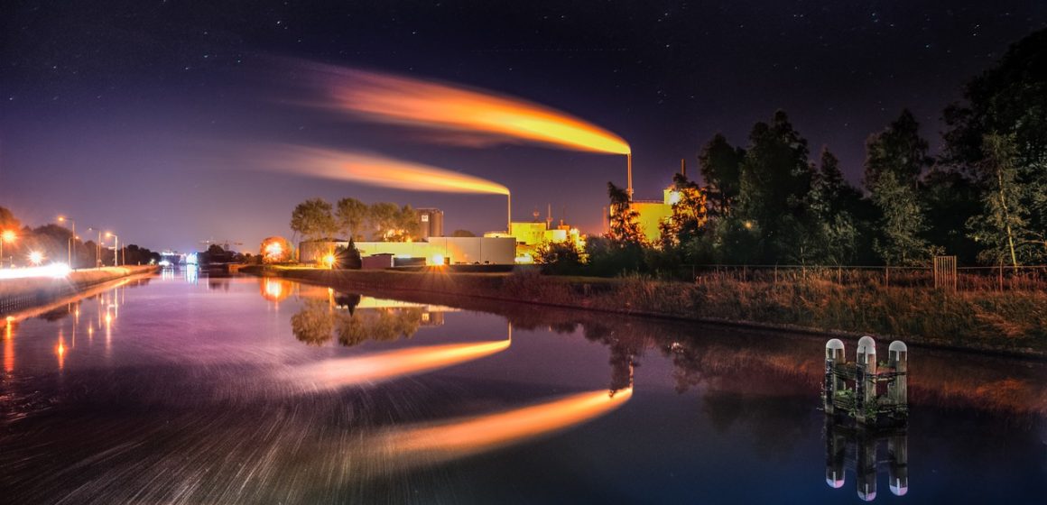
The role of energy is difficult to overestimate in modern life. People around the world are constantly looking for new sources of power. The use of oil, natural gas and coal have opened up thousands of opportunities for people – from traveling into space to the cozy warm houses and lights all around us. Every year, along with population growth and consumption development, the need for power also increase. Despite significant progress in the development of so-called alternative and renewable energy sources – solar energy, wind power, hydro-power, and so on – we are still not able to abandon traditional energy sources and their use and exploration also have economic and social significance.
As you could read in our article about electric cars, Austria is actively moving towards reducing the use of oil-containing products in transport. However, Austria does not forget about search of classical sources of energy in its own subsoil, which is discussed in this article.
More about the project to search for new sources of power in Austria
OMV (formerly Österreichische Mineralölverwaltung, ÖMV), one of the largest oil and gas companies in Europe, launched a project to find and develop local resources. From October 2018 to the end of March 2019, in the northern outskirts of Vienna and the eastern part of the Weinviertel, the company’s specialists in the field of geological exploration and seismic work carry out numerous searches and measurements. The goal of these works is to find the deposits of natural gas and to evaluate the profitability of their use in the future.
In the course of research, modern ultrasound (seismic) technology is used, similar to that used in medicine. In the course of geological exploration, special vehicles constructed for this purpose pass through a pre-selected territory and scan the depth of the earth with ultrasound signals.
Passing through different geological layers, these signals are reflected and then captured by geophones – devices for capturing and analyzing echo signals. With this method, specialists receive a piece of rather precise information about the territory with a depth of up to 6000 meters from the surface of the earth. After collecting all these data, detailed 3D models of different parts of the territory will be compiled, which will help, with a high degree of probability, to predict the presence of mineral deposits there, to calculate their volume and economic benefits from potential development.

